Research
And
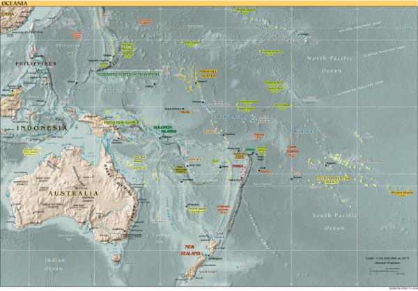
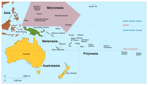
Study Region
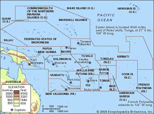
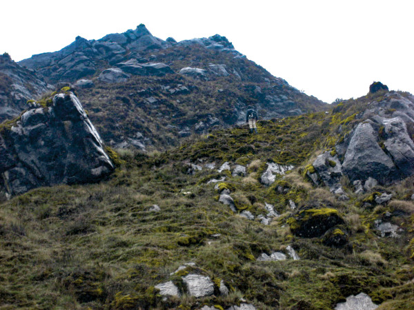
Vanuatu
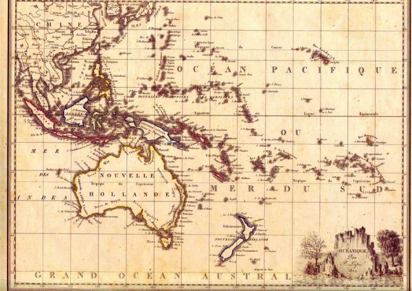
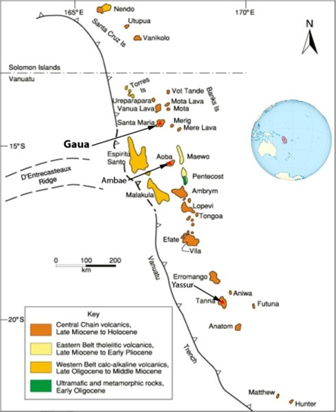
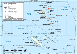
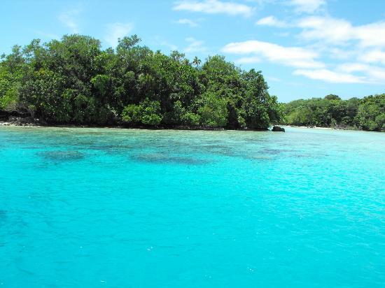
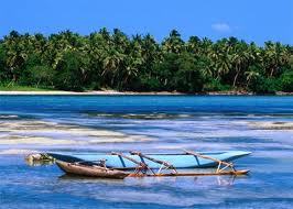
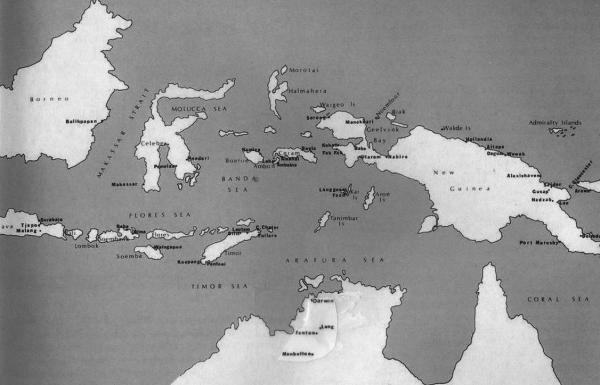
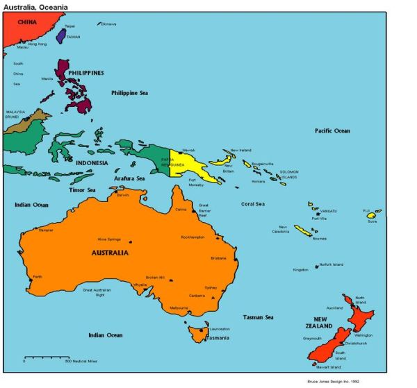
Vanuatu is a Y-shaped archipelago consisting of about 82 relatively small, geologically newer islands of volcanic origin (65 of them inhabited), with about 1,300 kilometres (810 mi) between the most northern and southern islands. Two of these islands (Matthew and Hunter) are also claimed and controlled by France as part of the French collectivity of New Caledonia. The country lies between latitudes 13° and 21°S and longitudes 166° and 171°E.
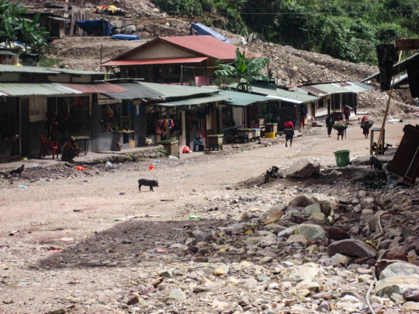
The fourteen of Vanuatu's islands that have surface areas of more than 100 square kilometres (39 sq mi) are, from largest to smallest : Espiritu Santo, Malakula, Efate, Erromango, Ambrym, Tanna, Pentecost, Epi, Ambae or Aoba, Gaua, Vanua Lava, Maewo, Malo and Aneityum or Anatom. The nation's largest towns are the capital Port Vila, on Efate, and Luganville on Espiritu Santo. The highest point in Vanuatu is Mount Tabwemasana, at 1,879 metres (6,165 ft), on the island of Espiritu Santo.
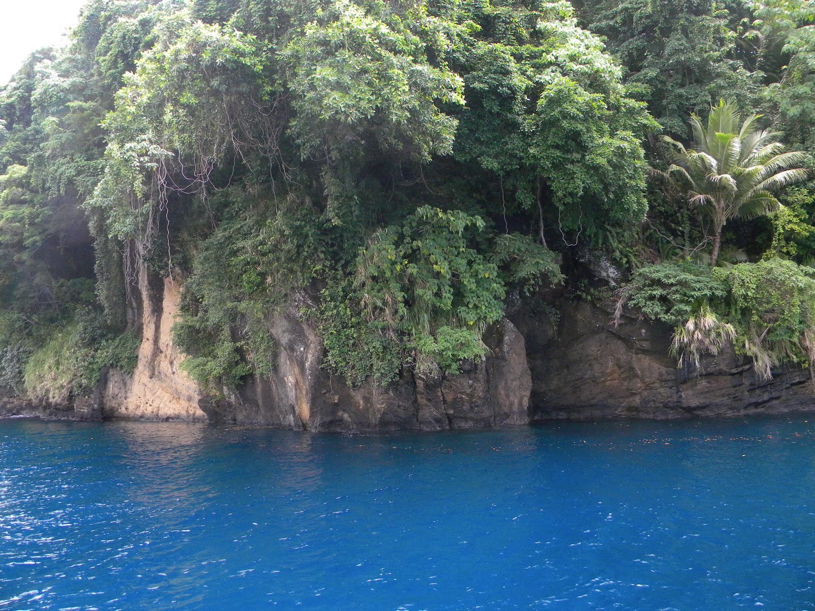
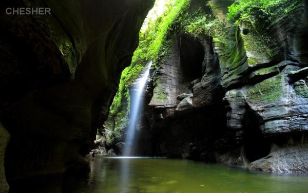
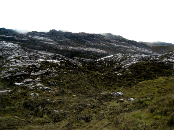
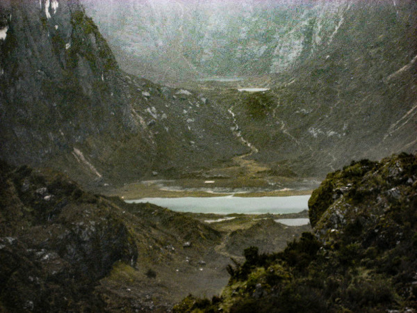
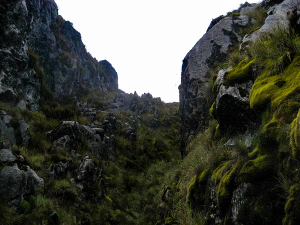
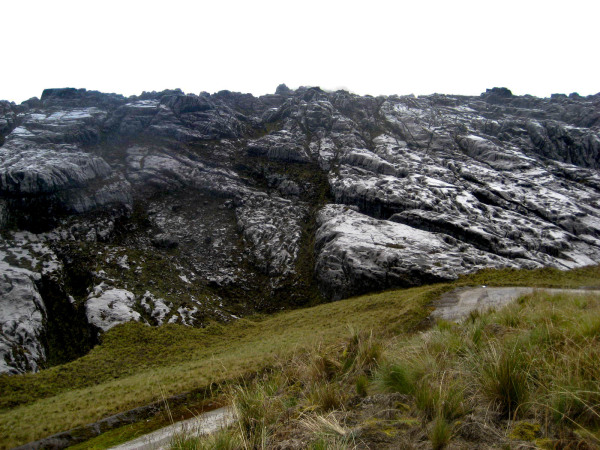
Vanuatu's total area is roughly 12,274 square kilometres (4,739 sq mi), of which its land surface is very limited (roughly 4,700 square kilometres (1,800 sq mi)). Most of the islands are steep, with unstable soils and little permanent fresh water. One estimate, made in 2005, is that only 9% of land is used for agriculture (7% with permanent crops, plus 2% considered arable). The shoreline is mostly rocky with fringing reefs and no continental shelf, dropping rapidly into the ocean depths.
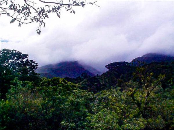
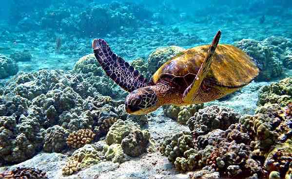
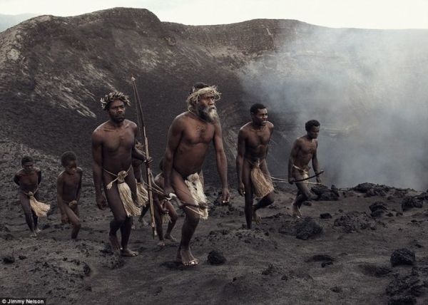
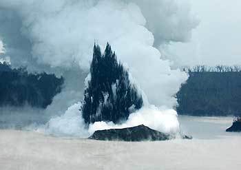
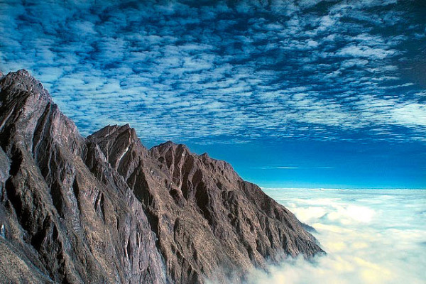
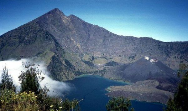
There are several active volcanoes in Vanuatu, including Lopevi, Mount Yasur and several underwater volcanoes. Volcanic activity is common, with an ever-present danger of a major eruption. Vanuatu is recognised as a distinct terrestrial ecoregion, known as the Vanuatu rain forests. It is part of the Australasia ecozone, which includes New Caledonia, the Solomon Islands, Australia, New Guinea and New Zealand.
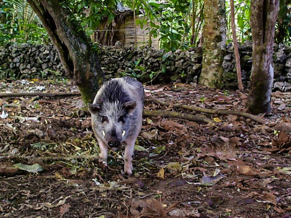
Despite its tropical forests, Vanuatu has a limited number of plant and animal species. The climate is tropical, with about nine months of warm to hot rainy weather and the possibility of cyclones and three to four months of cooler, drier weather characterised by winds from the southeast. The water temperature ranges from 22 °C (72 °F) in winter to 28 °C (82 °F) in the summer. Cool between April and September, the days become hotter and more humid starting in October. The daily temperature ranges from 20 to 32 °C (68 to 90 °F). South easterly trade winds occur from May to October.
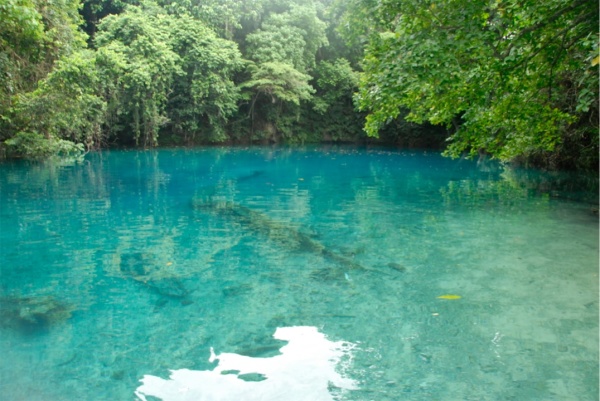
Vanuatu has a long rainy season, with significant rainfall almost every month. The wettest and hottest months are December through April, which also constitute the cyclone season. The driest months are June through November. Rainfall averages about 2,360 millimetres (93 in) per year but can be as high as 4,000 millimetres (160 in) in the northern islands.
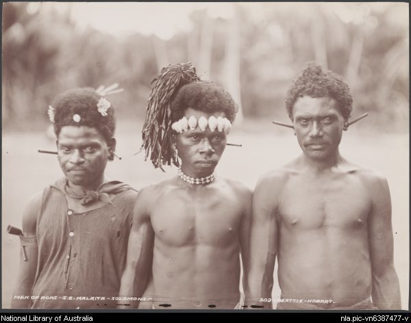
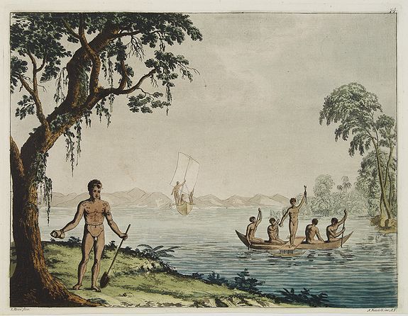
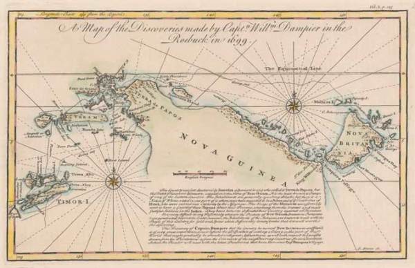
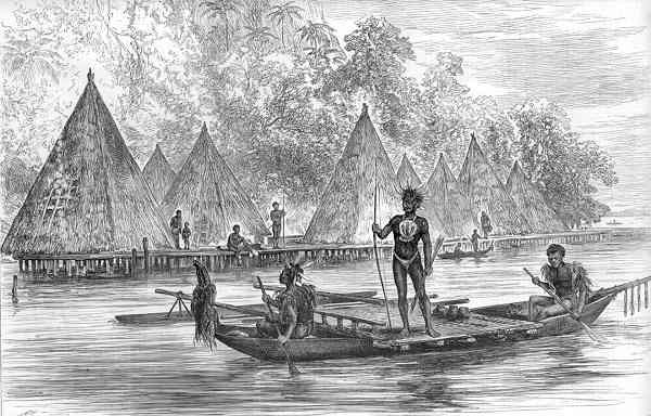
Vanuatu was first inhabited by Melanesian people. The first Europeans to visit the islands were a Spanish expedition led by Portuguese navigator Fernandes de Queirós, who arrived on the largest island in 1606. As the Portuguese and Spanish monarchies had been unified under the king of Spain in 1580 (following the vacancy of the Portuguese throne, which lasted for sixty years, until 1640, when the Portuguese monarchy was restored), Queirós claimed the archipelago for Spain, as part of the colonial Spanish East Indies, and named it La Austrialia del Espíritu Santo.
In the 1880s, France and the United Kingdom claimed parts of the archipelago, and in 1906 they agreed on a framework for jointly managing the archipelago as the New Hebrides through an Anglo–French Condominium. An independence movement arose in the 1970s, and the Republic of Vanuatu was founded in 1980.
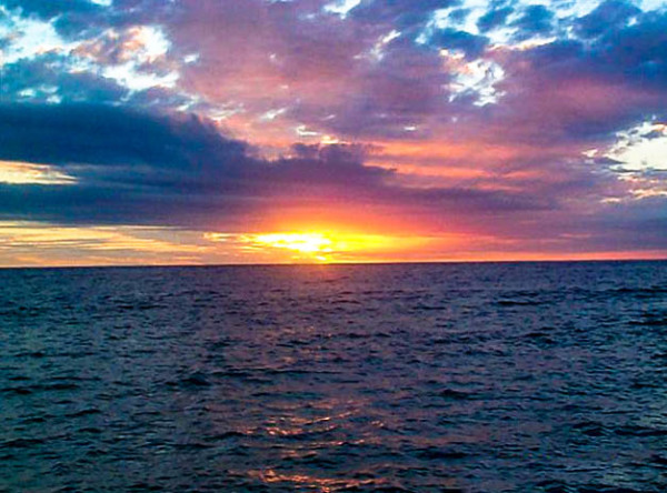
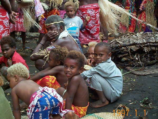
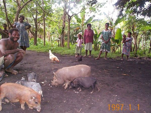
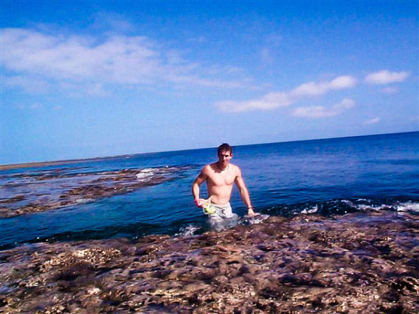
Vanuatu Image Gallery
Use the arrows to scroll through the images or click on the gallery to view in expanded mode.
-
Title 50
-
Title 49
-
Title 48

-
Title 47
-
Title 46
-
Title 45
-
Title 44
-
Title 43
-
Title 42
-
Title 41

-
Title 40
-
Title 39
-
Title 38
-
Title 37
-
Title 2
-
Title 3
-
Title 4

-
Vanuatu Gallery
-
Title 6
-
Title 5
-
Title 7
-
Title 8
-
Title 9
-
Title 10
-
Title 11
-
Title 12
-
Title 13
-
Title 14
-
Title 15
-
Title 16
-
Title 18
-
Title 19
-
Title 20
-
Title 21
-
Title 22
-
Title 23
-
Title 24
-
Title 17
-
Title 25
-
Title 26
-
Title 27
-
Title 28
-
Title 29
-
Title 30
-
Title 31

-
Title 32
-
Title 33
-
Title 34
-
Title 35
-
Title 36
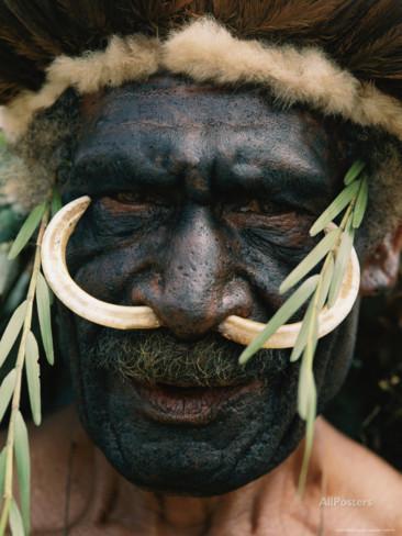
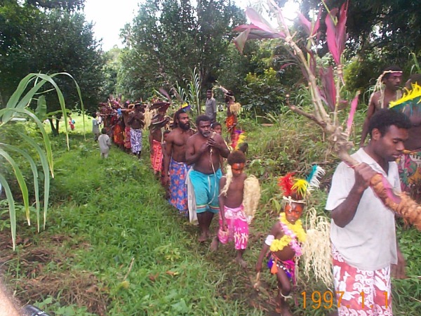
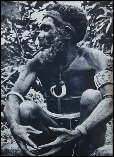
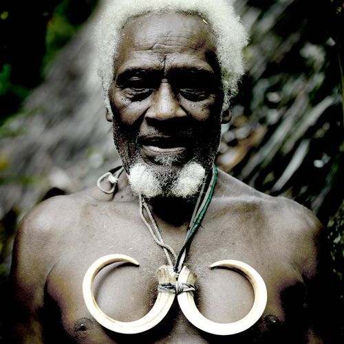
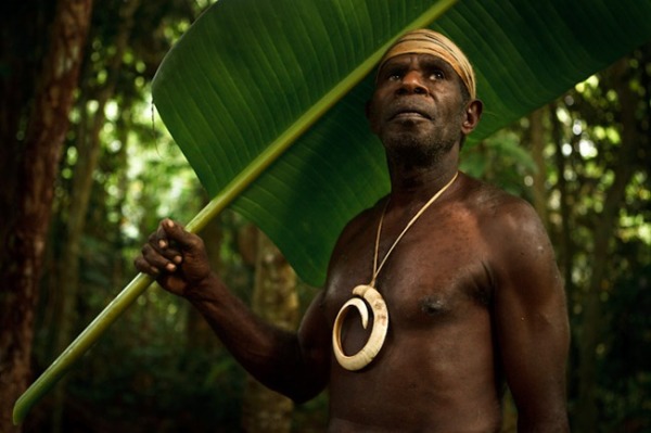
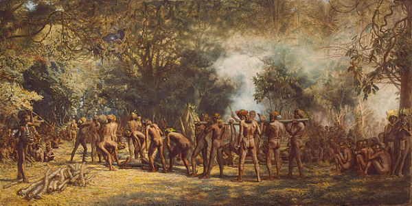
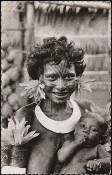
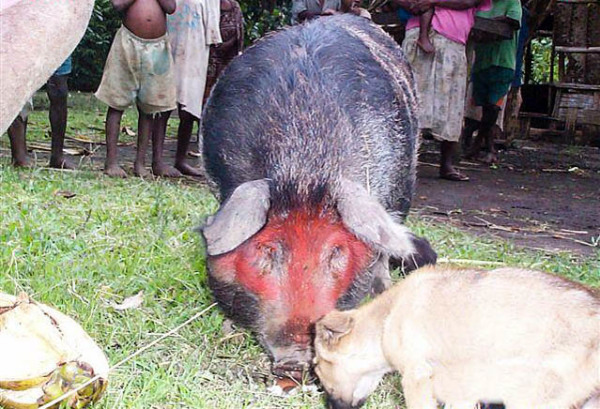
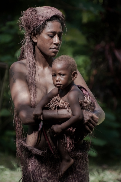
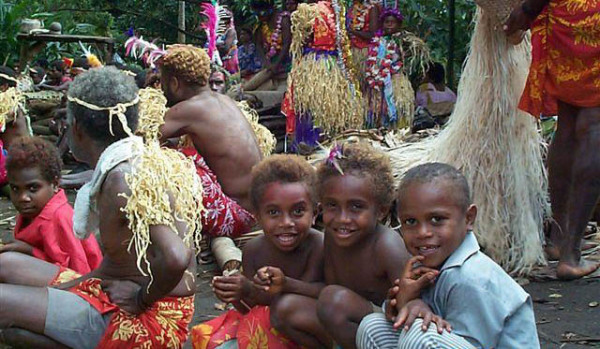
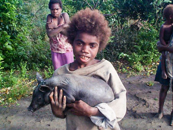
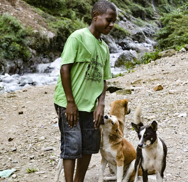
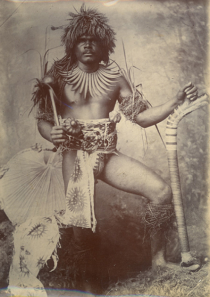
WARNING: Some images depict culturally appropriate traditional dress that may include partial nudity.
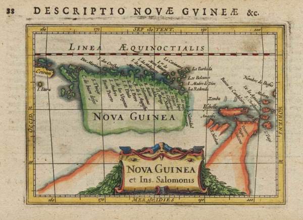
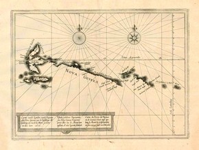
New Guinea
TEST Vanuatu is a Y-shaped archipelago consisting of about 82 relatively small, geologically newer islands of volcanic origin (65 of them inhabited), with about 1,300 kilometres (810 mi) between the most northern and southern islands. Two of these islands (Matthew and Hunter) are also claimed and controlled by France as part of the French collectivity of New Caledonia. The country lies between latitudes 13° and 21°S and longitudes 166° and 171°E.
The fourteen of Vanuatu's islands that have surface areas of more than 100 square kilometres (39 sq mi) are, from largest to smallest : Espiritu Santo, Malakula, Efate, Erromango, Ambrym, Tanna, Pentecost, Epi, Ambae or Aoba, Gaua, Vanua Lava, Maewo, Malo and Aneityum or Anatom. The nation's largest towns are the capital Port Vila, on Efate, and Luganville on Espiritu Santo. The highest point in Vanuatu is Mount Tabwemasana, at 1,879 metres (6,165 ft), on the island of Espiritu Santo.
Vanuatu's total area is roughly 12,274 square kilometres (4,739 sq mi), of which its land surface is very limited (roughly 4,700 square kilometres (1,800 sq mi)). Most of the islands are steep, with unstable soils and little permanent fresh water. One estimate, made in 2005, is that only 9% of land is used for agriculture (7% with permanent crops, plus 2% considered arable). The shoreline is mostly rocky with fringing reefs and no continental shelf, dropping rapidly into the ocean depths.
There are several active volcanoes in Vanuatu, including Lopevi, Mount Yasur and several underwater volcanoes. Volcanic activity is common, with an ever-present danger of a major eruption. Vanuatu is recognised as a distinct terrestrial ecoregion, known as the Vanuatu rain forests. It is part of the Australasia ecozone, which includes New Caledonia, the Solomon Islands, Australia, New Guinea and New Zealand.
Despite its tropical forests, Vanuatu has a limited number of plant and animal species. The climate is tropical, with about nine months of warm to hot rainy weather and the possibility of cyclones and three to four months of cooler, drier weather characterised by winds from the southeast. The water temperature ranges from 22 °C (72 °F) in winter to 28 °C (82 °F) in the summer. Cool between April and September, the days become hotter and more humid starting in October. The daily temperature ranges from 20 to 32 °C (68 to 90 °F). South easterly trade winds occur from May to October.
Vanuatu has a long rainy season, with significant rainfall almost every month. The wettest and hottest months are December through April, which also constitute the cyclone season. The driest months are June through November. Rainfall averages about 2,360 millimetres (93 in) per year but can be as high as 4,000 millimetres (160 in) in the northern islands.
Vanuatu was first inhabited by Melanesian people. The first Europeans to visit the islands were a Spanish expedition led by Portuguese navigator Fernandes de Queirós, who arrived on the largest island in 1606. As the Portuguese and Spanish monarchies had been unified under the king of Spain in 1580 (following the vacancy of the Portuguese throne, which lasted for sixty years, until 1640, when the Portuguese monarchy was restored), Queirós claimed the archipelago for Spain, as part of the colonial Spanish East Indies, and named it La Austrialia del Espíritu Santo.
In the 1880s, France and the United Kingdom claimed parts of the archipelago, and in 1906 they agreed on a framework for jointly managing the archipelago as the New Hebrides through an Anglo–French Condominium. An independence movement arose in the 1970s, and the Republic of Vanuatu was founded in 1980.
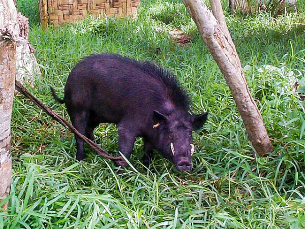
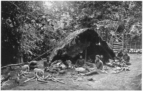
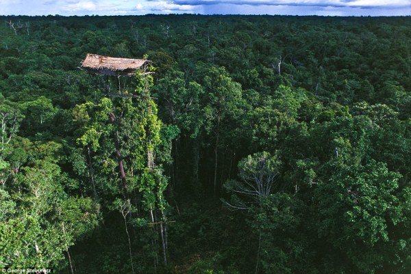
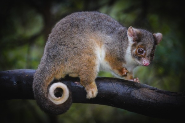
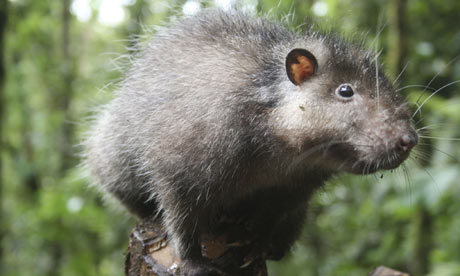
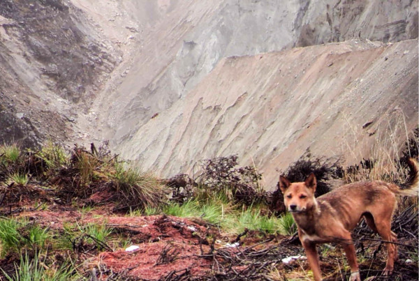
New Guinea has 284 species and six orders of mammals: monotremes, three orders of marsupials, rodents and bats; 195 of the mammal species (69%) are endemic. New Guinea has 578 species of breeding birds, of which 324 species are endemic. The island's frogs are one of the most poorly known vertebrate groups, totalling 282 species, but this number is expected to double or even triple when all species have been documented. New Guinea has a rich diversity of coral life and 1,200 species of fish have been found. Also about 600 species of reef-building coral—the latter equal to 75 percent of the world’s known total. The entire coral area covers 18 million hectares off a peninsula in northwest New Guinea.
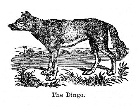
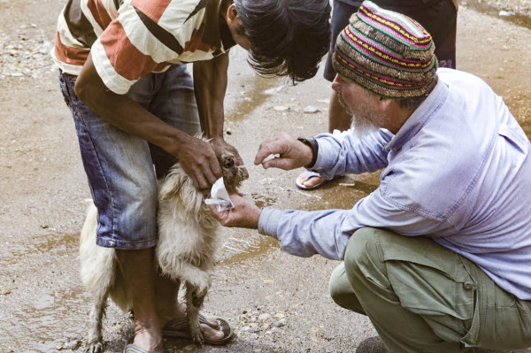
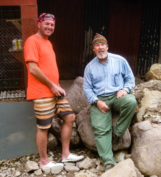
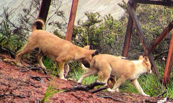
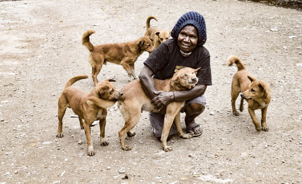
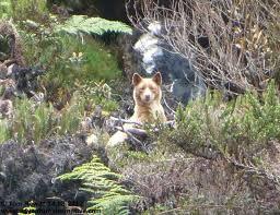
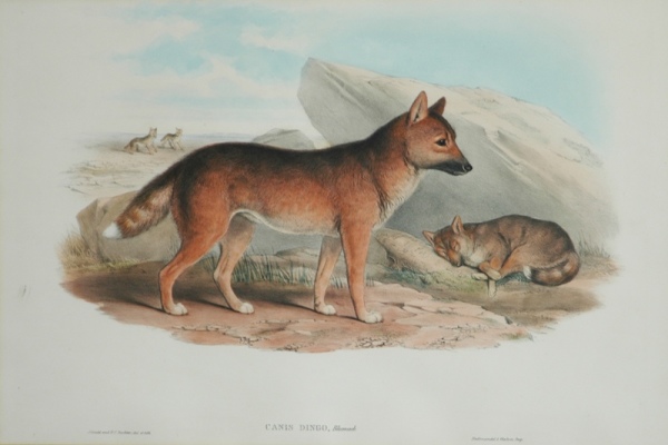
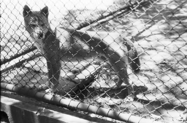
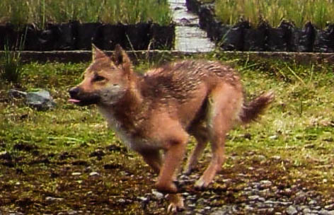
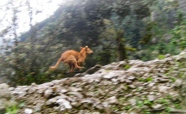
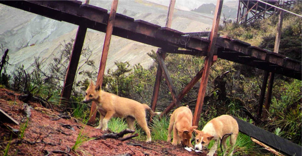
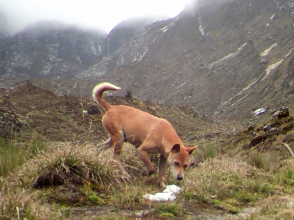
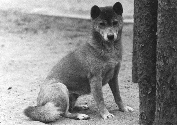
In 2016, SWPRP Director James "Mac" McIntyre was part of an expedition to Papua Province, New Guinea, where he was party to the world's most ancient and rare canid, the Highland Wild Dog.
New Guinea Image Gallery
Use the arrows to scroll through the images or click on the gallery to view in expanded mode.
-
Title 50
-
Title 49
-
Title 48
-
Title 47
-
Title 46
-
Title 45
-
Title 44

-
Title 43
-
Title 42
-
Title 41
-
Title 40
-
Title 39
-
Title 38
-
Title 37

-
Title 31
-
Title 32
-
Title 33
-
Title 34
-
Title 35
-
Title 36
-
Title 30
-
Title 29
-
Title 28
-
Title 27

-
Title 26
-
Title 25
-
Title 17
-
Title 24
-
Title 23
-
Title 22

-
Title 20
-
Title 19
-
Title 18

-
Title 16
-
Title 15
-
Title 14
-
Title 13
-
Title 21
-
Title 12
-
Title 11
-
Title 10
-
Title 9
-
Title 8
-
Title 7
-
Title 5
-
Title 6
-
New Guinea Gallery
-
Title 4
-
Title 3
-

WARNING: Some images depict culturally appropriate traditional dress that may include partial nudity.
Research Projects


